Submitted by Stacie Howe
The day might also fondly be described as “searching for piles of rocks and mud” which is actually very exciting when tagging along with a geologist — Beth Gilhespy — and a naturalist — Bob Bowles.
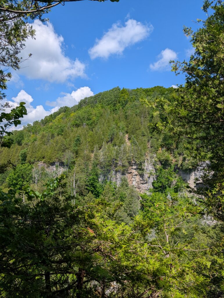
Beth was in her element as we drove up and down both sides of the Valley several times, identifying the layers of bedrock, from the red Queenston Shale at the bottom, up into the terraces of Manitoulin Dolostone, then the Cabot Head Shale where springs emerge, and topped with the Fossil Hill Dolostone and the beautiful Manitoulin Dolostone. (You can get a re-fresher in Geology of the Beaver Valley.)
Moraines — debris left behind by glaciers — sit on top of our bedrock in a distinct pattern as the glacier that filled the Beaver Valley 12,000 years ago spilled its rubble and sand along the edges of the escarpment.
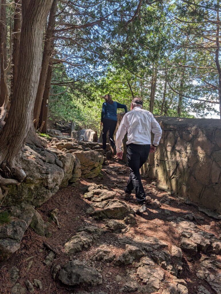
There are two distinct moraines in our watershed: the Banks Moraine and the Gibralter Moraine, named for small towns where they were first studied. The Gibralter Moraine was created first and is further south. The Banks Moraine was created at a later time, in a separate push of glacial action.
Our first stop was at Eugenia Falls for an excellent sighting of the Gibralter Moraine. The sloping hill on the west side at the top of the falls is clearly visible on top of the bedrock shelf that the water is rushing over.
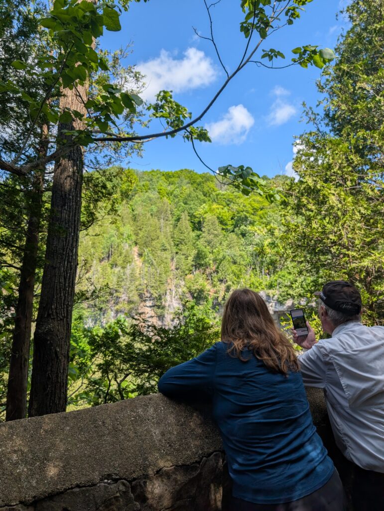
You may have heard about the tunnel that was constructed in 1907 to divert the river at Eugenia Falls in order to build a dam and create a power station. This tunnel was not excavated through solid limestone, but instead through the glacial moraine sitting on top of the Amabel Dolostone, a much easier dig than bedrock.
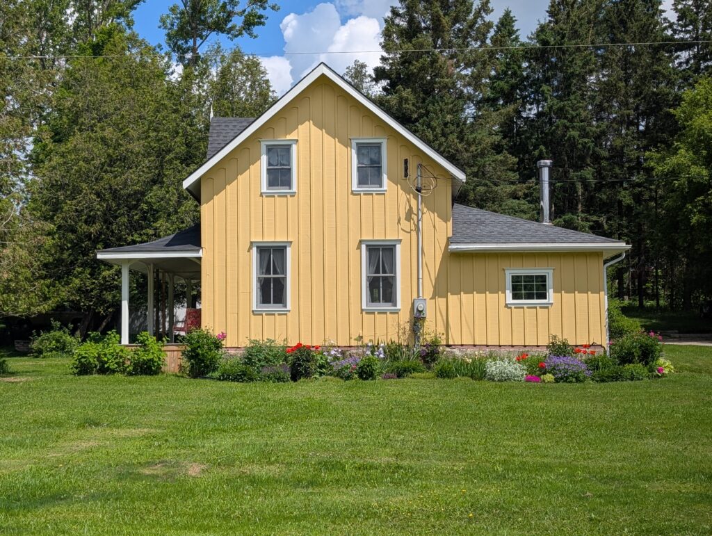
On our way to the next stop, we passed the original Bowles family homestead, at the top of Bowles Hill.
Bob spent his childhood in this house, and has fond memories of the pond across the road, the sinkhole his mother warned him about playing near, and the view from his bedroom window.
A deer crossed our path as we admired the house. Bob’s brother and sister still live on the neighbouring properties, once part of the original property.
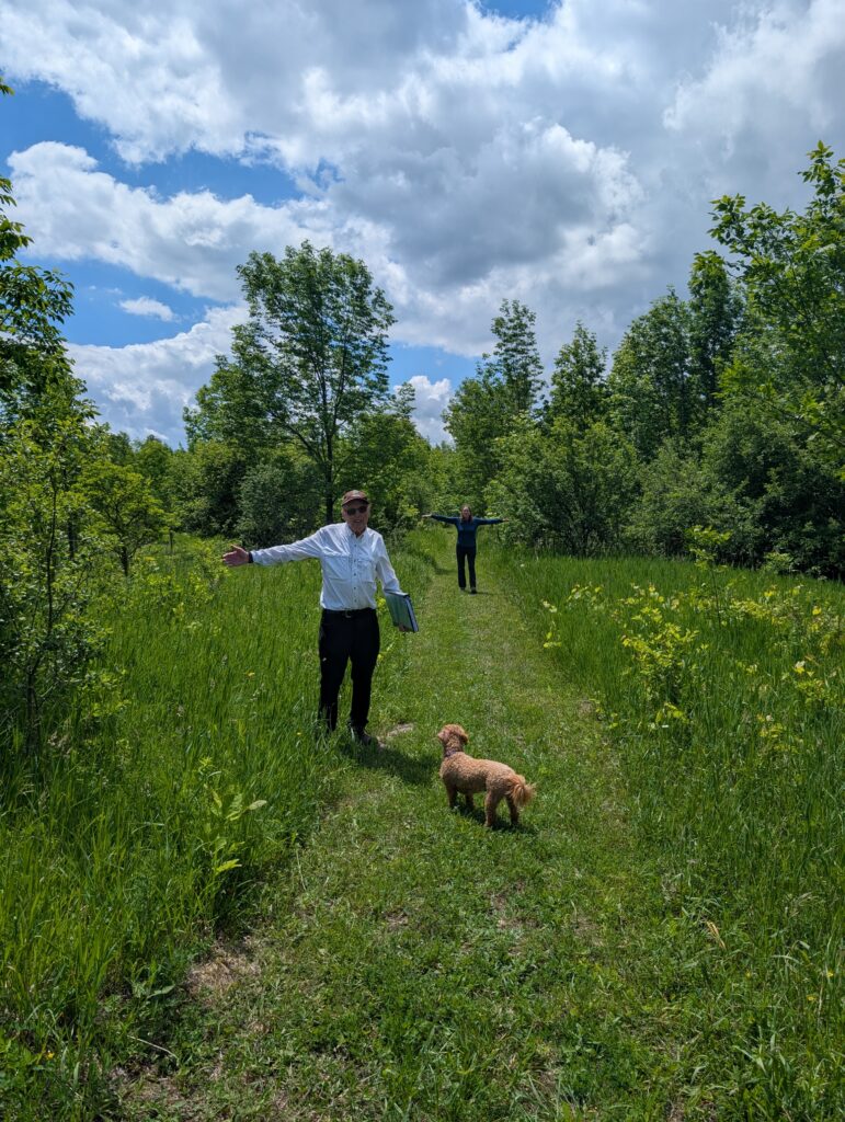
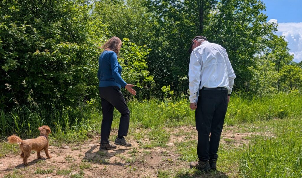
Continuing north into the Beaver Valley Ski Club and the Kimberley Forest, we hiked along a trail that follows the top of a moraine, which shows up as higher areas on topoographical maps. The moraine itself is only 500 m wide, but it stretches in length all the way to Griersville before curving to the west.
Beth is stretching her arms in this photo to show how the morine is dropping away on both sides of the trail.
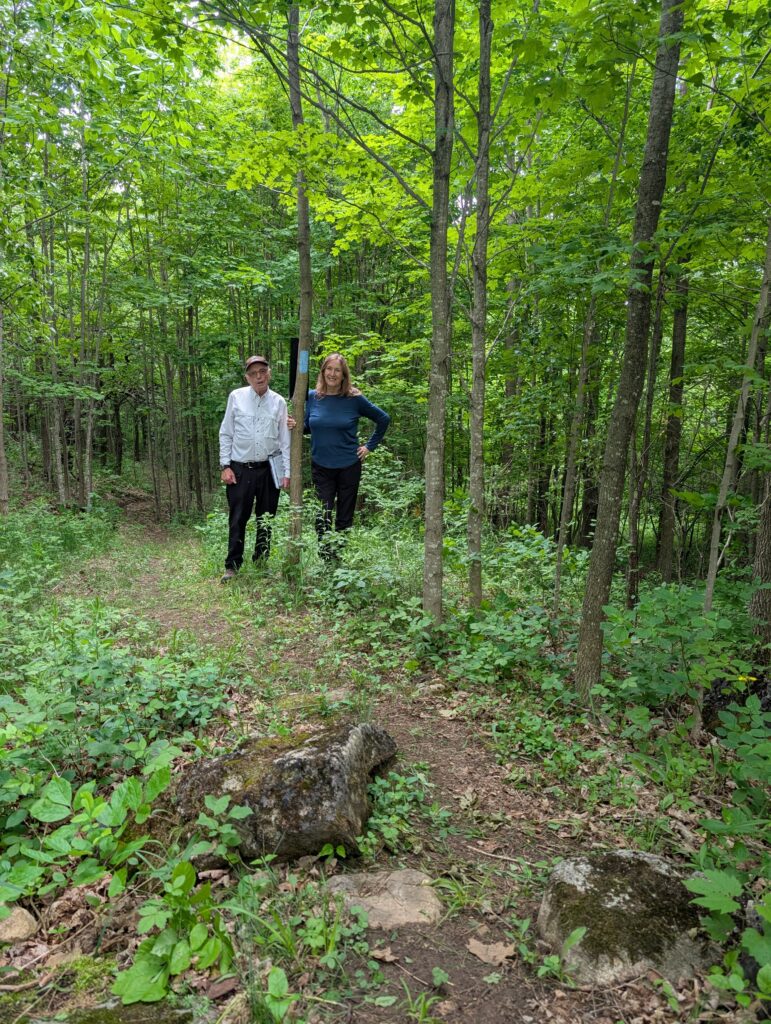
The warm sandy rise of land was also being enjoyed by a common wood-nymph and a little wood-satyr (both butterflies) as well as a common whitetail skimmer (a dragonfly).
This moraine blocks Wodehouse Creek so that the water flows south for a ways before spilling over the escarpment. Bob remembers the creek being called “Blind Creek”. There was no water in it today — it’s fed by the Wodehouse Karst area, which both floods and drains quickly due to the special topography.
Additional information below written by Bob Bowles July 1st 2026
It was an amazing day yesterday trying to pin down the exact locations of moraines in the Beaver River Valley. Was it the Banks Moraine or the Gibraltar Moraine on our farm at the top of Bowles Hill? Some said Gibraltar Moraine and some said Banks Moraine.
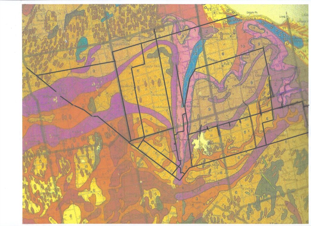
Finally, Beth Gilhespy provided me with a reference that solved the problem for me: Guide to the Geology of the Niagara Escarpment by Dr. Walter M. Tovell, edited by Lorraine Brown with Field Trips. Tovell had a map called Moraines of Southwestern Ontario, Figure 4-10 modified from Chapman & Putnam, 1966 and data from the Ontario Geological Survey. Beth sent me a copy of the map which clearly showed the moraines of Southwestern Ontario but on a very large scale so it was difficult to see the exact locations but it provided a great outline of the moraines. I knew I needed to get a copy of this book. I met the late Lorraine Brown from Owen Sound several years ago around 1990 when she started to attend my mycology workshops in Muskoka driving all the way from Owen Sound for several years in a row to learn mushrooms. I got to know her very well and knew that if she had edited this book with field trips then it was I book that I need to obtain since Lorraine was very detailed in her studies.
Last night, I started thining about the geology of the Bruce and know I had a large reference box of reports on the Bruce from when I did all the tours and Master Naturalist Programs at Red Bay Lodge. I went downstairs to my many reference boxes in the basement and for the Bruce found two great references. The first was an original copy of the Guide to the Geology of the Niagara Escarpment by Dr. Walter M. Tovell, edited by Lorraine Brown with Field Trips in its original large format in a 3-ringed binder. It had the great map of moraines but only one section H with a H-5 trip The Epping Lookout with an option: Beavery Valley Loop Tour down to Kimberley, up Bowles Hill to Grey Road 7 and north back to Epping but no mention of moraines.
The second book Geology and Landforms of Grey and Bruce Counties 2004 by The Bruce-Grey Geology Committee published by The Owen Sound Field Naturalists mentioned four moraines with general descriptions. However, it had two great maps in the jacket of the last page: Map III Bedrock Geology of Grey and Bruce Counties and Map 1 Physiography of Grey and Bruce Counties and map II Geology and Landform Site Locations and Earth Science ANSIs.
It was Map 1 in colour that showed the moraines of Grey and Bruce super-imposed on a road map of the area. Still in a very coarse scale but the best it I have seen for the area. I did a scan of the map and added a few roads in black print for reference.
It shows the moraines on the west side of the valley well and I marked Grey Road 7 in black for reference as well the the road down Bowles Hill. You can see by starting on the East Back Line just south of Hogg’s Falls on Valley Road the moraine runs due north. The two moraines on the west side, Banks and Gibraltar run together northeast on the East Back Line up a moraine and then road 7 runs north right up the two moraines. I remember as a boy getting pure sand from the north bank of the East Back Line on the curves upcoming uphill. We also got dirty gravel which I know now as glacial till but this was the cleanish sand around for concrete work. There was another pure sand pit on what my parents called Tilly Hewitt Hill. She once had a house on the moraine in this area but never lived there when I was growing up. She was before my time.